Description
Fourth updated edition.
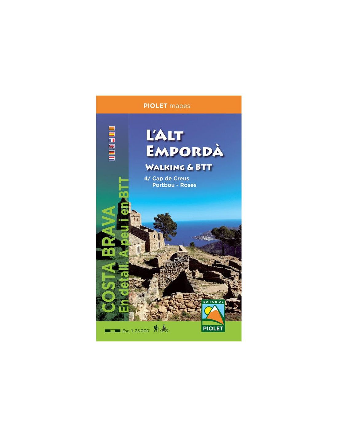
The area covered by the map goes from Cervera (France) to Empuriabrava.
It covers the entire area of the Cap de Creus Natural Park.
GR, PR, trails, dolmens, architectural heritage and natural heritage, beaches… an essential tool to get to know the territory.
| Gewicht: | 52 g |
|---|---|
| Verlag: | Piolet |
| Reihe: | Editorial Piolet Hiking Maps Spain |
| Maßstab: | 1:25.000 |
| Medienart: | Karten |
| Sprache: | Deutsch, Englisch, Französisch, Katalanisch, Spanisch |
| EAN: | 9788412020182 |
| Erscheinungsjahr: | 2022 |
| Kontinent: | Europa |
| Land: | Spanien |
| Bundesland / Provinz: | Katalonien |
| Region: | Spanische Mittelmeerküste, Costa Brava, Empordà |
| Orte / Berge / Seen: | Cap de Creus, Portbou, Llançà, Roses, El Port de la Selva, Cadaques |


Reviews
There are no reviews yet.