Description
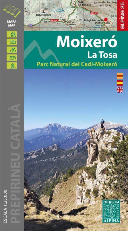
- Map kit with useful information for hikers
- Contour lines for every 20 m. of elevation difference
- Map with advanced shading and representation of vegetation
- Network of footpaths and sites of touristic interest
- UTM coordinates
- Folder with hiker information
| Verlag: | Editorial Alpina |
|---|---|
| Reihe: | Editorial Alpina 1:25.000 |
| Maßstab: | 1:25.000, 1:25000 |
| Medienart: | Karten |
| Sprache: | Englisch, Katalanisch, Spanisch |
| EAN: | 9788480908900 |
| Erscheinungsjahr: | 2021 |
| Kontinent: | Europa |
| Land: | Spanien |
| Bundesland / Provinz: | Katalonien |
| Region: | Katalanische Vorpyrenäen, Serra del Cadí, Berguedà |
| Orte / Berge / Seen: | Serra de Moixeró, Bagà, Saldes, La Pobla de Lillet, Comabona, Les Penyes Altes, La Molina, Guardiola de Berguedà |


Reviews
There are no reviews yet.