Description
- Size/Maße: 12×17 (guide-book), 70×100 printed on both sides (map)
- Pages/Seitenzahl (des Beihefts): 64 (guide-book) + 1:25.000 (map)
- Photo: Color
- Binding: Stapled
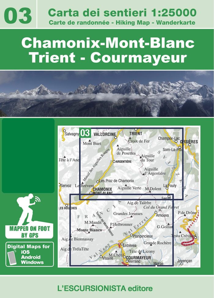
The new series of „Le più belle escursioni“ („top walks“) are practical booklets that go with 1:25,000 scale maps of the border mountains between Italy and France. The map covers the areas surrounding Val Ferret and Courmayeur (Italy), Chamonix-Mont-Blanc, Aiguilles Rouges, Vallorcine e Mont Buet (France – Arve Valley) and Trient, Champex e Val Ferret (Suisse). A handy light sleeve with double pockets holding a full colour guide describing the 9 top walks from the area is included for the same price as the map.
Walking map 1:25,000 scale showing all the paths (with and without waymarking) recorded with satellite GPS.
Walking guidebook for Chamonix-Mont-Blanc – Trient – Courmayeur, with 9 routes selected from the best the area has to offer, with historical-cultural notes and colour photos.
1 La Jonction
2 Montenvers
3 Albert Premier Hut
4 L’Aiguillette des Posettes
5 Croix de Fer
6 Chalets de Loriaz
7 Mont Buet
8 Chalet du Lac Blanc
9 Aiguillette des Houches
| Gewicht: | 177 g |
|---|---|
| Autor: | Luca Zavatta |
| Verlag: | L’Escursionista |
| Reihe: | Carta dei sentieri 1:50.000 |
| Maßstab: | 1:25.000 |
| Medienart: | Karten |
| Sprache: | Deutsch, Englisch, Französisch, Italienisch |
| EAN: | 9788898520923 |
| Seiten: | 64 |
| Höhe in mm: | 170 |
| Breite in mm: | 120 |
| Höhe in mm offen: | 700 |
| Breite in mm offen: | 120 |
| Erscheinungsjahr: | 2020 |
| Kontinent: | Europa |
| Land: | Italien, Frankreich, Schweiz |
| Bundesland / Provinz: | Wallis, Aostatal, Auvergne-Rhône-Alpes |
| Region: | Massif du Mont Blanc, Unterwallis, Savoyen |
| Orte / Berge / Seen: | Mont Blanc, Chamonix, Courmayeur, Grandes Jorasses, Aiguille d’Argentière, Mont Maudit, Aiguilles Rouges, Mont Dolent, Val Ferret, Val Veny, Mont Buet, Aiguille Verte, Cabane du Trient, Mer de Glace, Argentière, Aiguille du Tour, Entrèves, Grande Rochère |


Reviews
There are no reviews yet.