Description
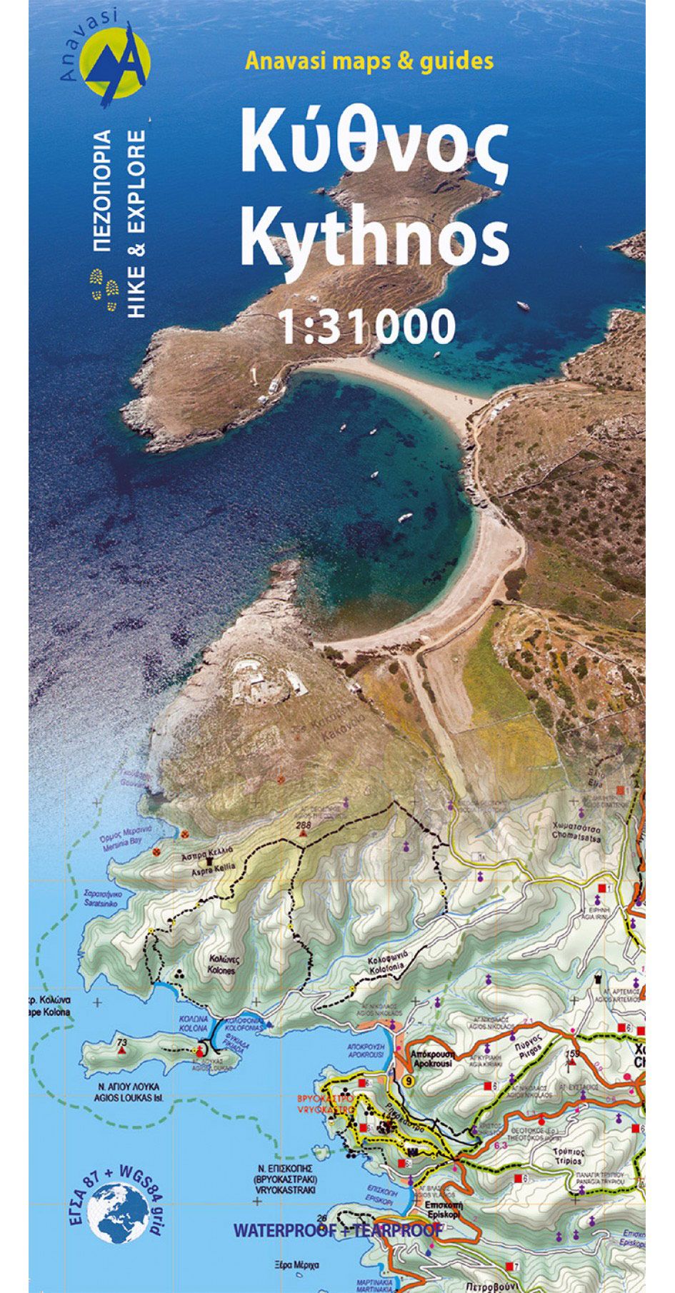
Kythnos, the second of the Western Cyclades islands, after Tzia, has 2 charming villages, Messaria and Dryopis, wonderful beaches and a rich network of paths. The map of Anavasi depicts the island accurately and in detail at a scale of 1:31.000 and depicts the network of hiking trails, the road network, beaches, museums and archaeological sites, churches, villages as well as many other points of interest for the visitor.
On the reverse side, you will find a small Hiking and Culture guide in 2 languages (Greek and English), by the archaeology professor Alexandros Mazarakis-Ainian and the excellent connoisseur of the island Adonis Kyrou, depicting, in addition to the known antiquities of the island, unknown ancient towers and mining sites.
Printed on waterproof polyart paper that does not tear
| Gewicht: | 30 g |
|---|---|
| Verlag: | Anavasi |
| Reihe: | Anavasi Topo Islands |
| Maßstab: | 1:31.000 |
| Medienart: | Karten |
| Sprache: | Englisch, Neugriechisch |
| EAN: | 9789609412414 |
| Höhe in mm offen: | 500 |
| Erscheinungsjahr: | 2024 |
| Kontinent: | Europa |
| Land: | Griechenland |
| Region: | Kykladen, Griechische Inseln, Ägäis |
| Orte / Berge / Seen: | Kýthnos, Dryopída |


Reviews
There are no reviews yet.